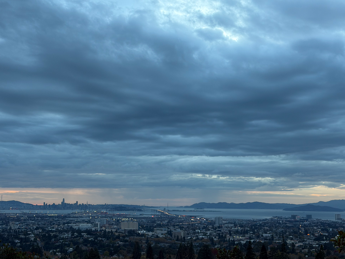
Another storm is expected to bring heavy rain, strong winds and possible thunderstorms to the Bay Area.
The next storm system is expected to arrive Tuesday night and continue into early Friday morning, with the greatest impacts forecast for Wednesday and Thursday. Rain could linger across the region through the weekend.
Moderate to heavy rainfall could cause minor flooding, while areas affected by recent wildfires face a higher risk of flash flooding, mud and debris flows. Some roads could become impassable because of flooding or damage, forecasters warned.
In Piedmont, cooler temperatures are expected to linger, with daytime highs stalling in the mid 50s throughout the week, according to the weather service.
Wind gusts of 30 to 40 mph are expected Wednesday and Thursday, with stronger gusts of 40 to 60 mph possible along the coast, mountain passes and ridgelines. Strong winds could make driving difficult for larger vehicles, damage trees and blow away loose outdoor items, the NWS said.
The weather service also predicts isolated to scattered thunderstorms, which could bring gusty winds, heavy rain and small ice pellets known as graupel.
Meanwhile, dangerous surf conditions are expected along the Pacific coast through Tuesday morning. Breaking waves of 20 to 25 feet are forecast, with occasional sets reaching 25 to 35 feet at favored locations.
The High Surf Advisory warns of sneaker waves, strong rip currents and localized beach erosion, especially during high tide. Hazardous beach conditions could persist through midweek. Beachgoers are urged to stay out of the water and avoid beaches, jetties and coastal rocks during dangerous surf conditions.
Temperatures will also remain cooler than normal. Overnight lows could fall into the mid to upper 30s, particularly Tuesday morning, posing risks to people without shelter, pets and plants, forecasters said.