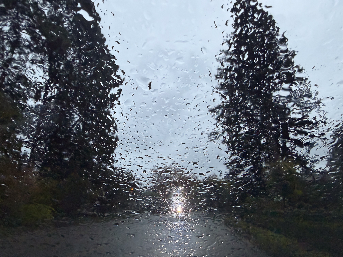
Wet weather will mark the weekend and the coming week, along with temperatures that are decidedly more autumnal.
A powerful storm could also bring hazardous winds to the Bay Area and Central Coast starting Friday, according to the National Weather Service, which forecast gusts of up to 40 mph, with isolated gusts to 50 mph in some locations as a cold front passes through the region.
Motorists are warned to use extra caution when driving and to stay clear of downed power lines. Rainfall Friday contributed to minor flooding in low-lying and poor drainage areas and water over roadways, the weather service advised.
Light rain and gusty winds were also forecast for the Bay Area and Central Coast beginning Friday through next week, the weather service said. Up to 1 inch of rainfall could drop, making some roads slick.
Daytime temperatures in Piedmont were expected to hover between 58 and 60 degrees over the weekend and then fall into the high 50s during the week, according to the weather service. Overnight lows were forecast to drop to the low 50s on the weekend and then fall again on Monday evening to a chillier 45 degrees, with overnight temperatures in the mid-to-high 40s persisting throughout the week.
Coastal areas of Northern California should also brace for dangerous ocean conditions this weekend, the National Weather Service said Thursday. A coastal flood advisory is in effect through 4 p.m. Friday.
Dangerously large breaking waves will arise from Friday night into early Sunday. Some waves could reach 50 feet at sites like Mavericks near Half Moon Bay and could be between 25 and 30 feet elsewhere along the Northern California coast, according to the weather service.
These waves can easily overpower swimmers or pull people into the ocean from the beach, jetties, and rocks.