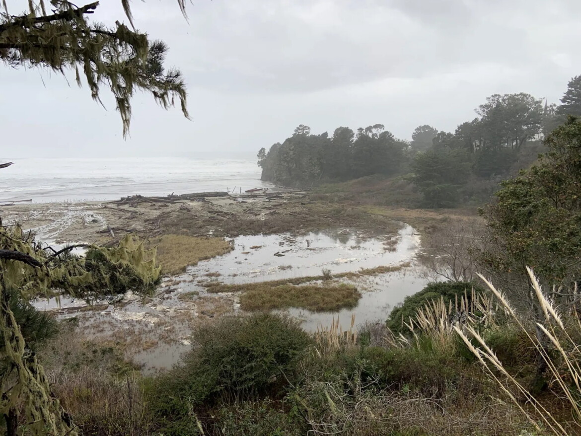
Bay Area beaches will face dangerous conditions through midweek, and low-lying shoreline neighborhoods could see flooding as king tides arrive, the National Weather Service said Monday.
The NWS said a Beach Hazards Statement is in effect through 10 p.m. Wednesday, warning of 10- to 14-foot breaking waves, strong rip currents and a heightened risk of sneaker waves.
Forecasters say the sneaker-wave threat will be highest from Monday evening into early Tuesday morning as long-period swells arrive.
At the same time, a Coastal Flood Advisory will stretch from Tuesday through Sunday, with king tides expected to push water levels up to 1.4 feet above ground in some low-lying areas near the shoreline and tidal waterways. Flooding may worsen Tuesday and Wednesday when high surf and high tides overlap, according to the NWS.
In San Francisco, predicted morning high tides include:
- Tuesday: 8:24 a.m.
- Wednesday: 9:04 a.m.
- Thursday: 9:48 a.m.
- Friday: 10:35 a.m.
- Saturday: 11:25 a.m.
- Sunday: 12:17 p.m.
Forecasters say timing may vary by up to 90 minutes around the Bay and along the Pacific coast.
Hazards will not just be on the beaches. The NWS says gusty offshore winds are expected Tuesday night into Wednesday morning, especially in the North Bay mountains, East Bay hills and Santa Cruz Mountains. Winds of 15 to 30 mph are likely, with gusts reaching 40 mph, and up to 55 mph in the North Bay interior mountains.
Despite the wind, no fire-weather concerns are expected.
Residents and visitors are advised to use caution near the ocean, avoid climbing on rocks or jetties, and stay alert for sudden waves.
The post Surf’s up: King tides bring dangerous waves, heightened flood risk along coast this week appeared first on Local News Matters.