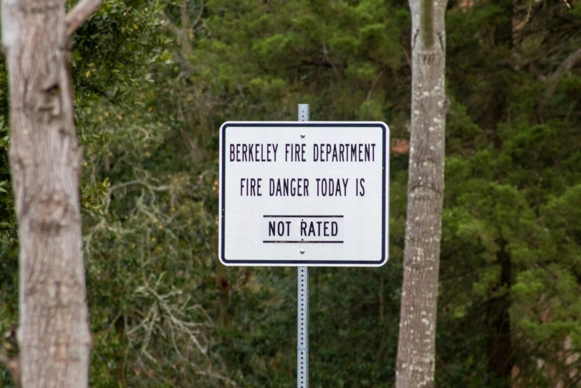
A REPORT COMMISSIONED by the city of Berkeley found that its major roadways do not have the capacity to sustain large-scale evacuations in cases of wildfires or tsunamis.
The Evacuation Time Study Project, a 323-page study developed and conducted by transportation consulting firm KLD Associates over a span of two years and released by the city Tuesday, estimated evacuation times for various natural disaster situations in Berkeley, including a tsunami warning, a fire affecting Panoramic Hill, and a repeat of the 1923 Berkeley Fire, which burned over 600 buildings and remains the worst fire in city history.
The study validated Berkeley officials’ beliefs that extreme wildfire situations could see evacuation efforts outpaced by flames, finding that a midday, citywide evacuation of 90% of Berkeley residents could take as long as four hours.
The study cited pre-timed traffic signals and other roadway designs intended to reduce residential traffic as factors that could exacerbate slow evacuation conditions in Berkeley. The areas south and west of the University of California, Berkeley campus, north of Ohlone Park, south and west of UC Berkeley’s Clark Kerr campus, and the Lawrence Berkeley National Laboratory were listed as areas where evacuations will likely be slowed due to traffic calming devices and signals.
“On a typical day, Berkeley’s road network balances traffic flow with speed reduction to minimize injuries and/or fatalities,” the KLD study reads. “In an emergency, however, it may need to handle the rapid evacuation of tens of thousands of people away from a hazard.”
Exact evacuation times are subject to many different parameters, including the zones evacuating and the type/severity of the disaster, but are generally expected to be faster when Berkeley’s population is lower — at night, during summer months, and on weekends, when university populations are reduced and many commuters aren’t within city limits. Leaving earlier also usually results in a faster evacuation time.
The city urges Berkeley residents to plan and be aware of multiple routes away from their homes in anticipation of congested evacuation scenarios where major roadways may not have the capacity to accommodate everyone.
“It is important that evacuating vehicles are distributed across all available roadways to improve overall evacuation times,” the report reads.
While they aren’t suitable in wildfire situations, walking and biking are adequate tsunami evacuation options that may prove to be faster than driving depending on the route. Residents are also encouraged to carpool to help reduce road congestion during wildfire evacuations.
On Dec. 5, 2024, a National Weather Service tsunami warning prompted Berkeley officials to issue a mandatory evacuation order after a 7.0- magnitude earthquake occurred off the coast of Cape Mendocino. The warning was canceled just over an hour after it was issued, and city officials lifted the evacuation orders 10 minutes later.
The post Berkeley roads can’t handle citywide evacuations during major disasters, study finds appeared first on Local News Matters.