The Bay Area is in for several days of cold overnight and morning temperatures, giving way to the strong possibility of some moderate rain later in the week.
Starting Monday morning and running through at least Thursday, lows in the lower to mid-30s will blanket the region’s inland valleys, while lows in the upper 30s to lower 40s will dominate the coastal regions, according to the National Weather Service.
People can expect frost advisories and freeze warnings to varying degrees throughout the Bay Area until the end of the work week.
The temperatures will be low enough to present a hazard to homeless populations, as well as pets and plants left outside.
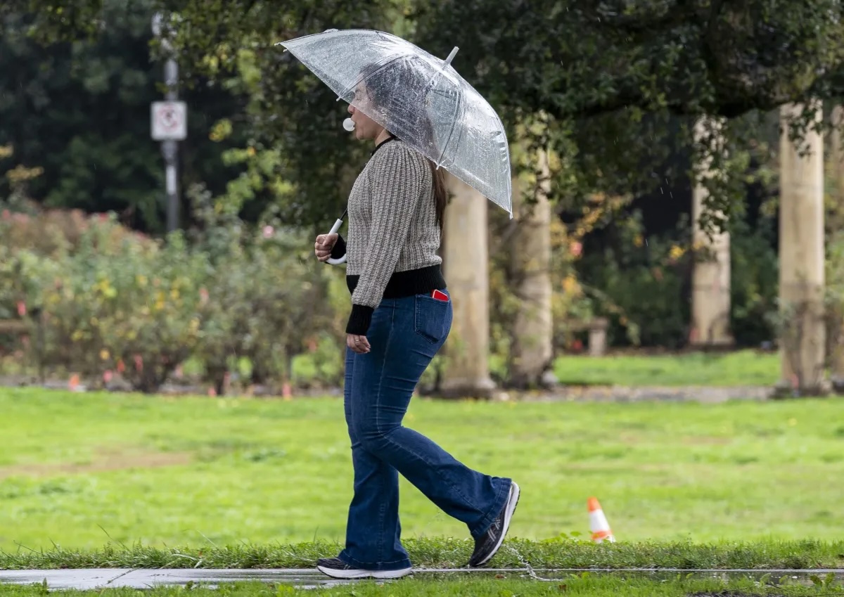
On Friday, conditions are expected to shift towards rain, according to the Weather Service, and the first batch of precipitation should fall on Friday and last into Saturday, with the forecast calling for about .25 inches in the North Bay and falling off to lower amounts in most other places.
Cold and dry conditions will prevail along the north coast for most of this week, as well, with cold weather advisories expected for areas around Ukiah, Willits and east of Fort Bragg.
Also, the chances of fog will increase Tuesday night and Wednesday and overnight lows and wind-chills are expected in the upper 20s for southern Mendocino and Lake counties Monday night and Tuesday morning.
Rain will return to the north coast starting Friday, with the largest 24-hour totals expected in Del Norte County and the least amount expected in Lake County, which might get just a tenth of an inch or so by Friday evening.
After Friday, north coast conditions are expected to trend wetter, with more robust rainfall and the slight possibility of water level rise in rivers, streams and creeks.
Bay City News staff reporter Katy St. Clair contributed to this report.
The post Frosty overnight and morning temps this week to give way to chance of raining Friday appeared first on Local News Matters.