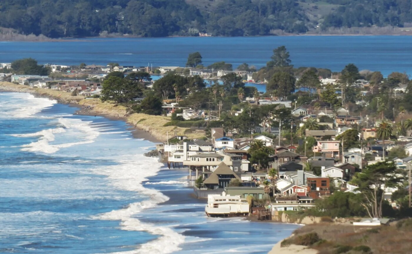
The landscape of Stinson Beach is going to change in the coming decades. The question is whether that change will be done intentionally by people or chaotically by the rising sea. According to a recent analysis, in the event of a 1.6-foot sea level rise by 2040 to 2050, Stinson’s sandy beach and vegetated marsh along the lagoon are estimated to lose 30 to 40 percent of their area.
According to a new report released by Marin County, there is no one perfect solution. The report provides an easy-to-read summary of over a dozen ways to engineer the water away from the homes, roads and businesses that make up the community of about 500 residents. The popular oceanside destination attracts about 750,000 visitors a year. Tourism infrastructure is at risk as well.
The solutions range from simple sand dunes to elevating the town. Each option includes pros and cons and price tags. The key point: Responding to sea level rise is going to require a lot of coordinated action by the community.
The Marin County Community Development Agency has scheduled a virtual public webinar for June 17 at 5:30 p.m. The public is invited to go over the findings and discuss next steps.
“Our report shows that addressing sea level rise in Stinson Beach is going to take a combination of actions by the community, and a lot of collaboration and partnership,” said Isaac Pearlman, senior planner with the Marin Community Development Agency.
The move to find solutions stems from a 2023 county study to identify the degree to which buildings, habitats, infrastructure, and community services are at risk from future flooding due to sea level rise.

The analysis found that Stinson Beach’s homes and infrastructure could withstand a 100-year flood — a very intense storm that has a 1 percent chance of occurring every year or a 26 percent chance of occurring during a 30-year mortgage.
However, that measure does not account for future sea level rise. Increased wave run-up, lagoon and creek overflows, emergent groundwater and coastal erosion place the beach community at high risk. The study concluded that if no action is taken, more intense storms and sea level rise will make flooding in Stinson Beach more frequent, more destructive, and the impacts will last longer.
All homes in Stinson Beach rely on septic systems, so several options address the problem of those systems failing as groundwater swells.
A community wastewater treatment plant could handle collection, treatment and dispersal of treated wastewater. Horizontal levees can be used to reduce flood risk for low-lying areas around riverine and estuarine environments. They are like traditional levees but they include flatter, wider slopes on the flooding side.
The study concluded that if no action is taken, more intense storms and sea level rise will make flooding in Stinson Beach more frequent, more destructive, and the impacts will last longer.
They are vegetated with native plants and spans the elevation range from upland to shallow waters. Wind-driven waves break on the long slope, encouraging the healthy deposit of sediments. They also digest and clean wastewater when it is injected deep below the berm.
“Ecotone or horizontal levees often times replace, or are built on top of, mudflat and/or upland shoreline habitat,” said Pearlman, referring to the environmental impact of building one in an existing wetland like Bolinas Lagoon. “The end result is restored and improved habitat, but ecotone levees aren’t built in a vacuum, so one type of habitat is being converted to another.”
The report lists temporary solutions, like replenishing the beach, building sea walls or building up the beach with rock revetments to displace wave energy. Higher tech defensive approaches include building steel bulkheads with sump pumps, or floodproofing buildings with waterproof doors and walls. Raising roads and moving buildings to higher ground are forms of retreat, as well as development interventions like buyouts, purchasing a parcel to remove it from a coastal hazard like flooding or erosion.
The residents of Stinson Beach are encouraged to register for the June 17 webinar.
The post Future of Stinson Beach at risk: Marin County examines options to combat rising sea levels appeared first on Local News Matters.
