Fire crews mostly stopped the Kincade Fire in Sonoma County from spreading further amid calm weather conditions in the hours from Monday night into Tuesday morning, Cal Fire officials said.
As of 7 a.m. Tuesday, the fire had burned 75,415 acres, up only slightly from the 74,324 acres that had burned as of Monday evening. The blaze, which started last Wednesday night near Geyserville and was only 5 percent contained over the weekend, is now at 15 percent containment.
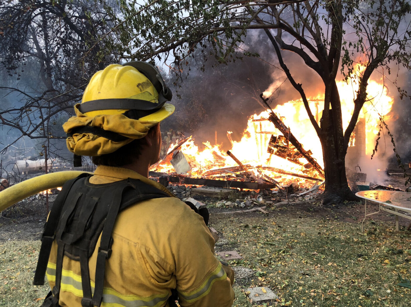
At least 124 structures have been destroyed, 23 are damaged and more than 90,000 remain threatened, according to Cal Fire.
The firefighting efforts came during a respite from the windy weather that tore through Northern California last weekend. Cal Fire officials said favorable weather conditions will continue Tuesday morning but northeast wind gusts are expected to pick up later in the day.
The National Weather Service has issued a wind advisory for the North Bay mountains above 1,000 feet starting at noon Tuesday and running through 11 a.m. Wednesday. The expected windy weather has prompted PG&E to implement yet another Public Safety Power Shutoff that will affect more than 270,000 customers in the Bay Area.
Reported on Monday evening by Keith Burbank of Bay City News:
Kincade burns 74,324 acres ahead of coming wind event
Cal Fire officials said Monday evening the Kincade Fire that started in Sonoma County has now burned 74,324 acres and destroyed 57 homes. Containment has grown to 15 percent from 5 percent Sunday evening.
Two firefighters have been injured but fortunately no deaths have been reported in the fire. About 90,000 structures remain threatened, Cal Fire Division Chief Jonathan Cox said. Twenty more structures have been damaged and 123 in total have been destroyed.
Additional evacuation warnings were issued for the eastern side of Sonoma County and the west side of Lake County, Cox said. The western part of Sonoma County has begun to be repopulated. But Sonoma County Sheriff Mark Essick said the western side of the county is still under an evacuation warning, which means residents should be ready to evacuate if an order is issued.
Another inclement wind event is expected to visit the Bay Area starting Tuesday morning in the North Bay and then spread to other parts of the region. Winds are expected to peak Tuesday night.
PG&E plans to shutoff power to as many as 605,000 customers in 29 California counties in the coming weather event.
PG&E meteorologist Scott Strenfel offered some good news. After Wednesday, weather models do not show another inclement wind event at least through the first week of November, he said. “Still no rain in the forecast,” Strenfel said, “but it appears we are going to be entering a more quiescent weather pattern.” That should be good news for firefighters working to extinguish the Kincade Fire, which ballooned Sunday because of the high winds.
Still, relative humidity is expected to be very low Tuesday, which increases the risk of fires. The event Tuesday and Wednesday “will be a very high risk event,” Strenfel said.
Meteorologists with the National Weather Service have issued multiple Red Flag Warnings for the Bay Area, which means the potential for catastrophic wildfires is high. Red Flag Warnings have been issued for the North Bay, East Bay and San Francisco Peninsula. The North Bay warning goes into effect at 8 a.m. Tuesday while the warnings for the East Bay and San Francisco Peninsula go into effect at 1 p.m. Tuesday. All three warnings expire at 4 p.m. Wednesday.