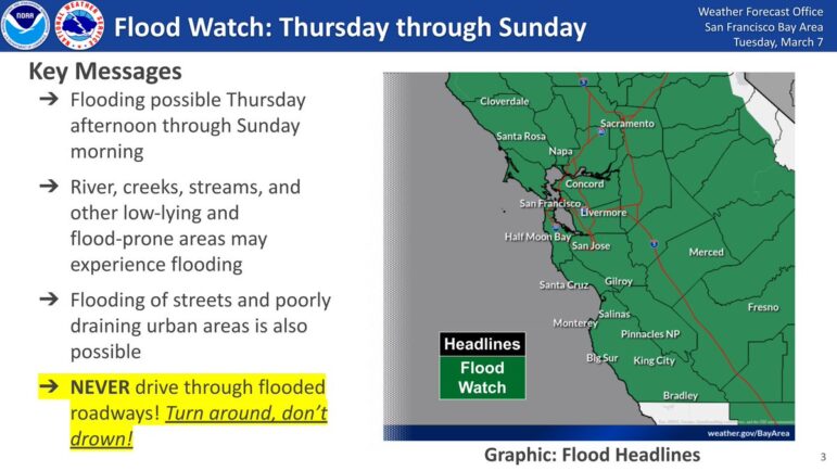
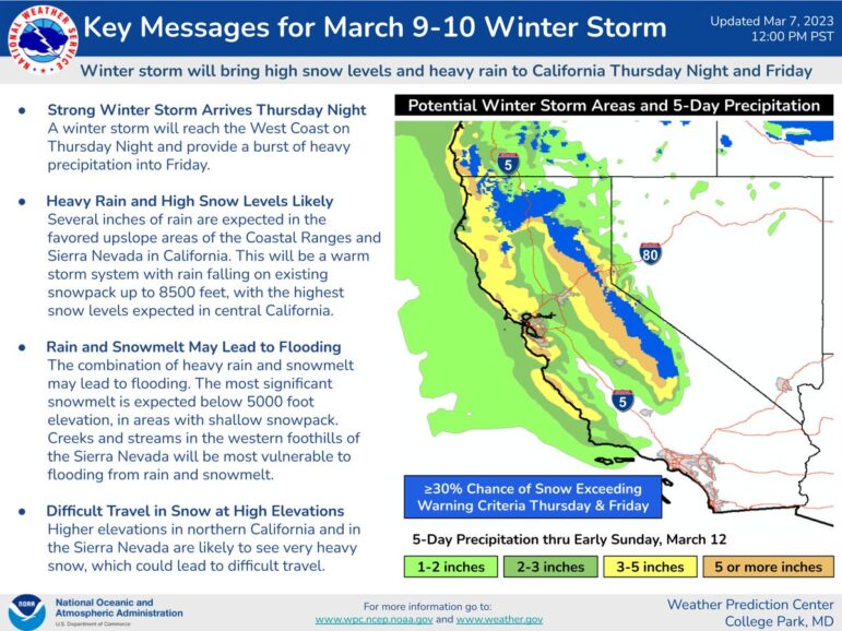
Maybe you’ve heard: A strong and warm atmospheric river is slated to hit the Bay Area Thursday afternoon, bringing with it another round of heavy rains for Piedmont and snowfall at higher mountain elevations. Exact timing is still not certain but the National Weather Service has already issued warnings:
If you want to dig deeper into weather forecasts than your local meteorologist is able to, here’s who to follow on social media:
*Weather reports accompanied by climate perspectives: Dr. Daniel Swain (@weather_west) a climate scientist in the Institute of the Environment and Sustainability at the University of California, Los Angeles.
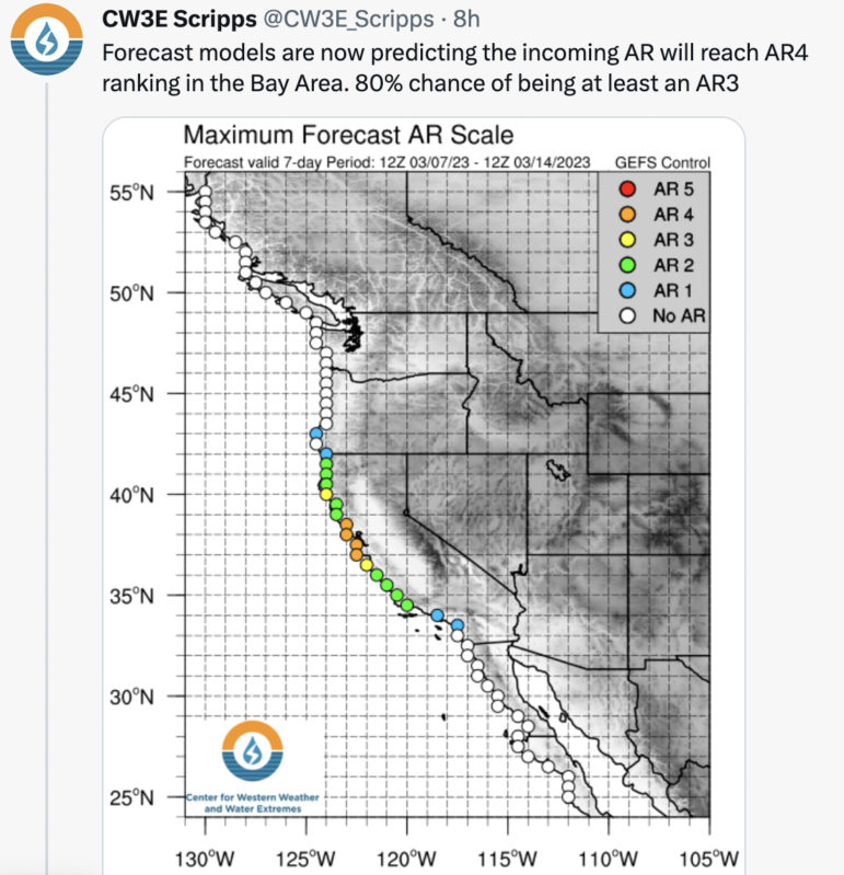
*Atmospheric river forecasts in granular details: The Center for Western Weather and Water Extremes at UC San Diego (@CW3E_Scripps) tracks the impacts of extreme weather and water events over western N. America and produces charts like this:
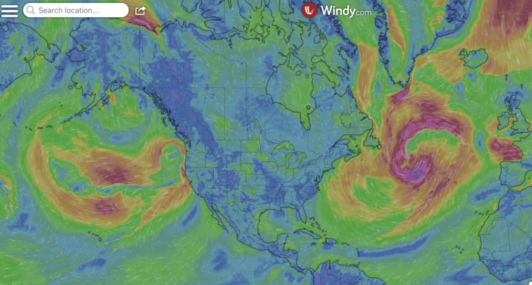
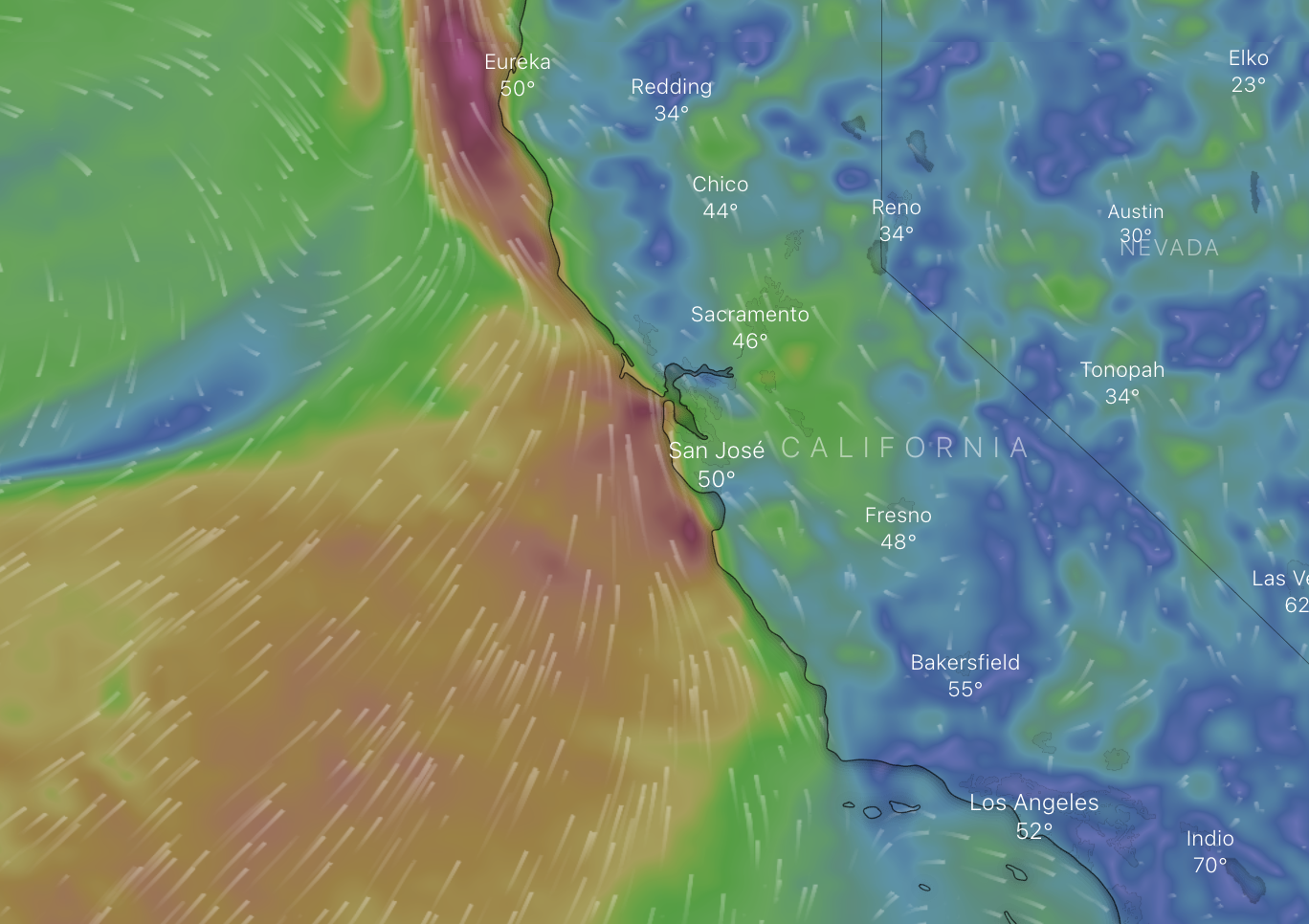
Our favorite wind-tracking app, windy.com, creates beautiful animated maps of wind currents as seen in the the screenshot below.
Love the weather data!