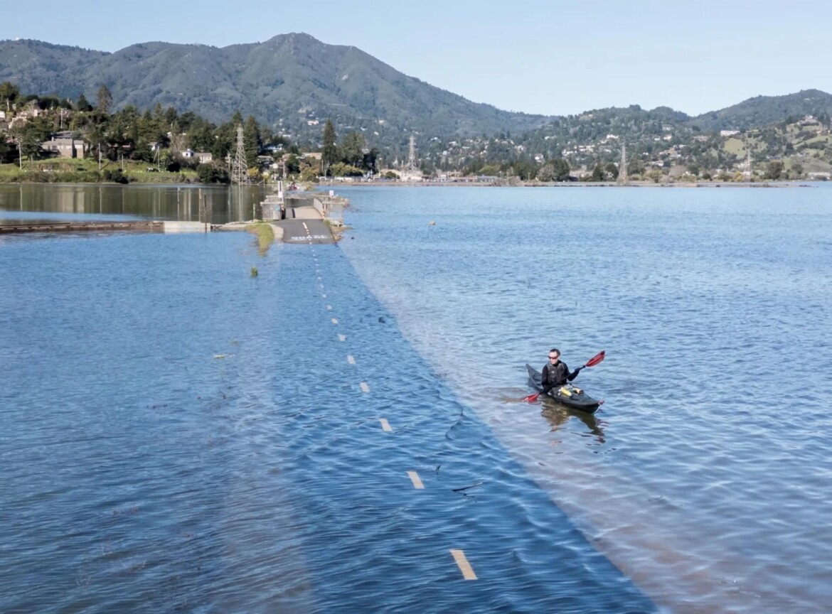
The National Weather Service predicts minor coastal flooding in bayside locations along San Francisco Bay, San Pablo Bay and Monterey Bay through Thursday morning.
For Monday, a high tide of 5 feet peaked at noon, and a higher tide of 7.2 feet is expected at 10:25 p.m., according to data from the National Oceanic and Atmospheric Administration.
On Tuesday, the agency predicts tides will be 1.1 feet above normal, about 7 feet at 10:57 p.m. Wednesday’s high tide will peak at 6.74 feet around midnight. High tide timing varies up to 90 minutes earlier or later along the Pacific Coast.
According to the Central Marin Police Department, residents and business owners could see area flooding. Residents were asked to prepare by clearing debris from gutters, drains, and driveways, securing homes in flood-prone areas with sandbags. When appropriate, residents should avoid parking in low areas and secure loose construction materials around buildings. Never walk or drive through water of unknown depth, follow posted road signs, and do not drive around barricades.
The police added that recent king tides this summer have been 0.4 to 0.8 feet higher than predicted due to windy conditions and warmer ocean water from El Niño.
El Niño is a temporary warming of the Eastern Tropical Pacific Ocean. Last week, climate scientist Daniel Swain said in a virtual town hall that this year’s El Niño is gearing up to be a super El Niño. The exceptionally strong event could occur due to the temperatures in the Pacific region reaching record highs.
“We’ve never seen ocean temperatures in the Eastern Tropical Pacific as warm as they are today in the region that matters for El Niño,” Swain said.
On the Northern California coast and in the Bay Area, scientists are predicting an increased risk of flooding, heavy rainfall, high sea levels, a warm fall season, and lightning.
The post King tides could bring minor coastal flooding to Bay Area and Monterey through Thursday appeared first on Local News Matters.