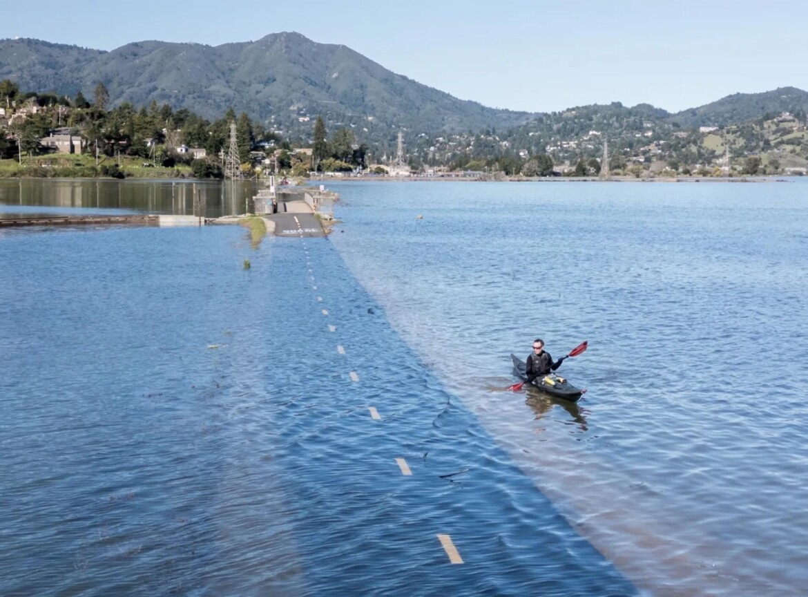
The National Weather Service has issued a coastal flood advisory for the greater San Francisco Bay Area and is forecasting up to 1.7 feet of flooding in low-lying areas near bay shorelines and along the coast.
The advisory is expected to remain in place from Thursday through July 19 in shoreline areas of the San Francisco and San Pablo bays. The advisory for coastal areas will begin Saturday and run through July 15.
Sneaker waves and strong rip currents are also expected in low-lying areas through 5 p.m. Friday, according to the National Weather Service.
The Central Marin Police Department also issued a message on Thursday informing residents that king tides, especially strong tidal effects that cause above-normal water levels, are expected for the shoreline areas of Central Marin. The king tides are expected to be “higher-than-normal,” according to police officials.

With flood conditions in effect, residents are advised to avoid waterside infrastructure and allow extra time for travel on shoreline routes in case of flooded roads.
The National Weather Service is also monitoring the effect that recent increases in atmospheric moisture will have on the potential for wildfires throughout the Bay Area both this weekend and early next week. The weather pattern creates favorable conditions for dry thunderstorms absent of precipitation, which, combined with gusty winds, can start and spread wildfires.
Outside of flood conditions, shoreline areas in San Francisco and Oakland should expect highs in the mid-60s that will creep up into the low 70s as the weekend progresses. Inland areas should expect highs in the mid-80s that will increase into the low 90s in areas around Livermore, Santa Rosa and Stockton over the weekend.
Throughout the Bay Area, overnight lows in the 50s are forecast for the weekend.
The post Flood advisory issued for Bay Area shorelines, coast through next week appeared first on Local News Matters.