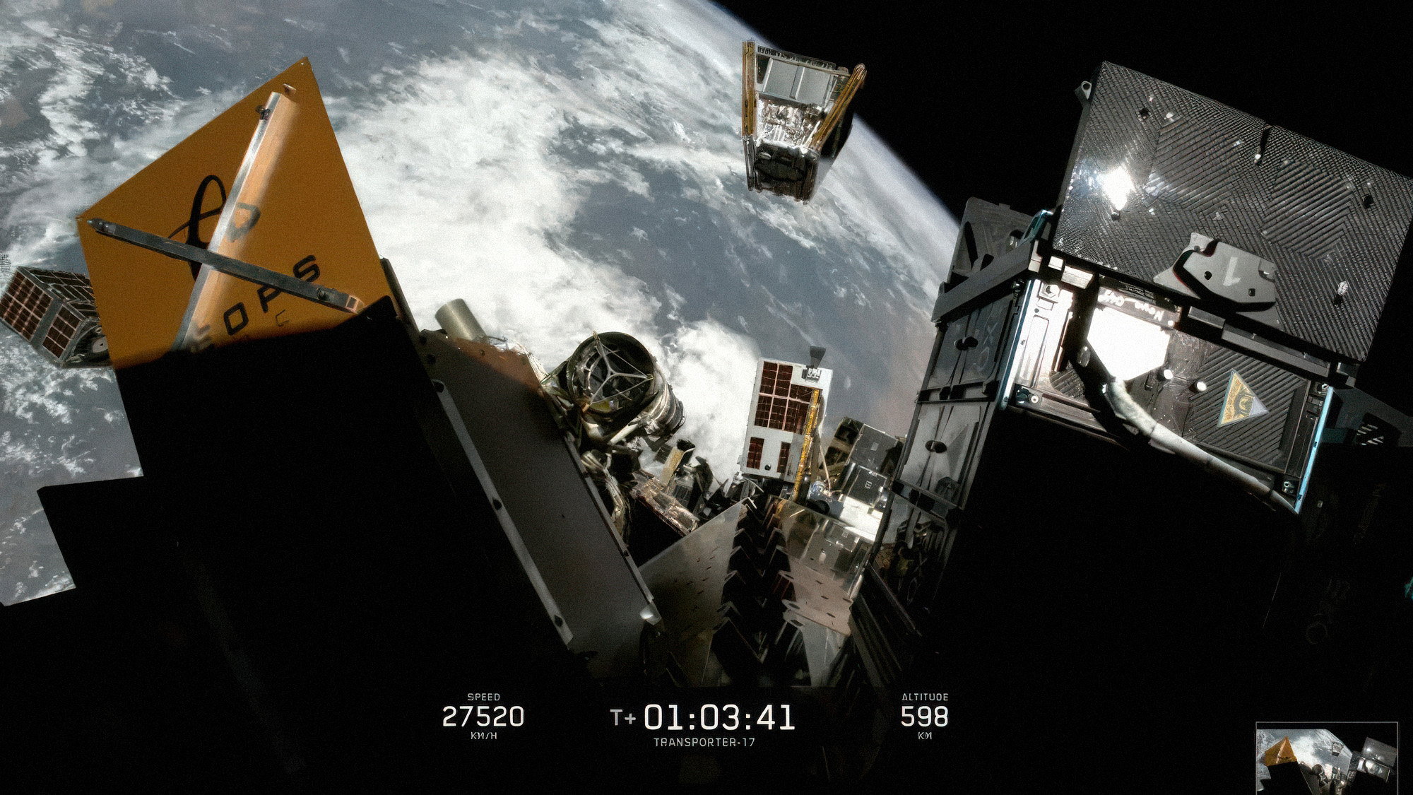
Three wildfire detection satellites were launched this week with the goal of helping firefighters detect fires earlier and protect communities across California. This is the first time a satellite system was designed with the intention of detecting wildfires.
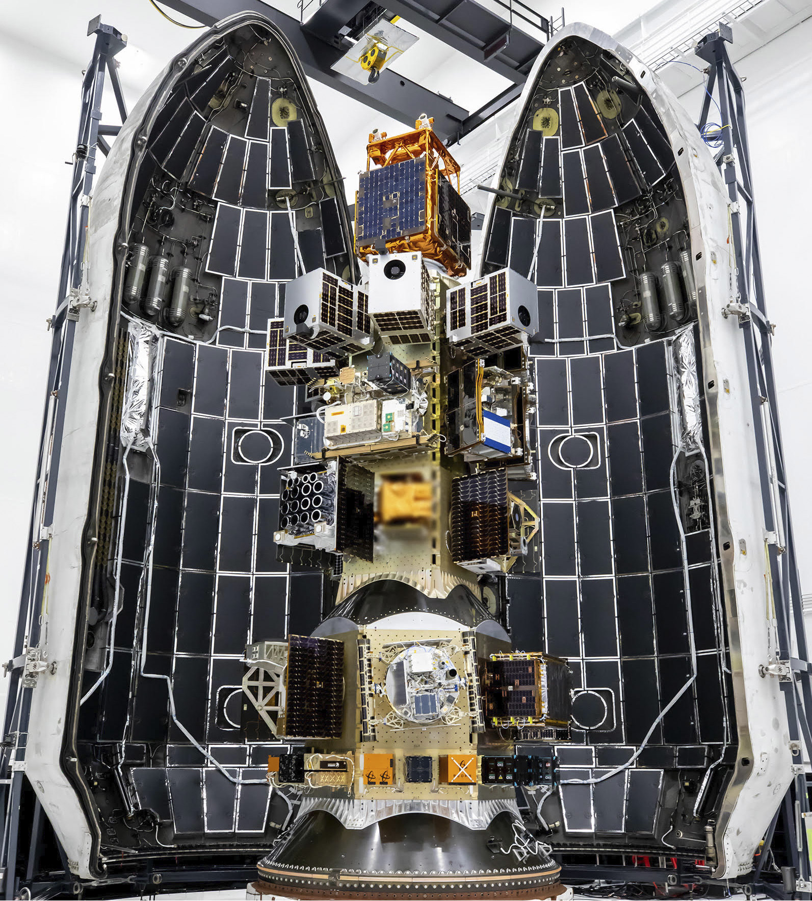
Tuesday’s launch took place at Vandenberg Space Force Base in Santa Barbara County. The satellites were on board a SpaceX Falcon 9 rocket and were a part of the company’s Transporter-17 Mission.
These FireSat satellites are a collaboration project between California and the Earth Fire Alliance, a global nonprofit coalition that works to deliver wildfire data to fire agencies across the globe. They were built by the California-based spacecraft manufacturer Muon Space.
“FireSat represents a fundamental shift in how we detect, understand, and respond to wildfire,” said Earth Fire Alliance board member Chris Anthony in a statement. “This launch reflects years of collaboration among fire agencies, Earth Fire Alliance, philanthropy, and technology partners and marks the beginning of a new era in global wildfire intelligence.”
The satellites will use frequent high-resolution data that will identify and monitor wildfires in real time.
By 2030, it is estimated that more than 50 wildfire detection satellites will be in orbit, all helping to spot smaller fires before they grow into larger ones.
Currently, the satellites are undergoing a three-month commissioning and calibration period before they begin delivering usable data.
The post FireSat satellites launched to improve wildfire detection, tracking across California appeared first on Local News Matters.