As California’s rainy season enters its final stretch, state water managers announced Friday that the vital Sierra Nevada snowpack is just 85 percent of normal for this time of year.
That statewide number takes into account the current snowpack levels in the Sierra’s northern region, which is about 104 percent of normal for this date, the central region, which is 80 percent of normal and the southern region, which is at just 70 percent of normal, according to the latest data from the California Department of Water Resources.
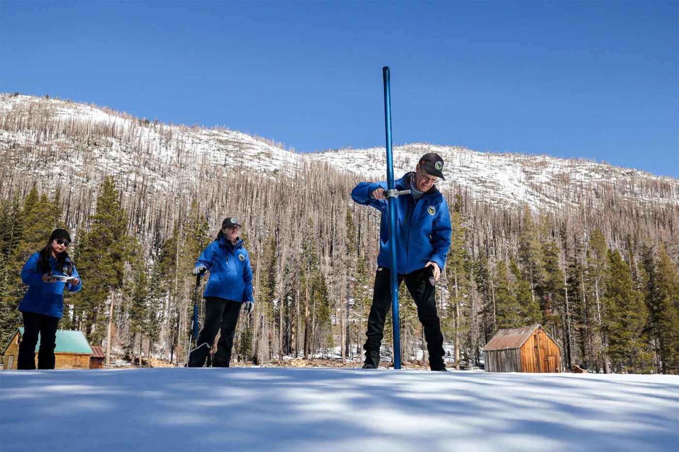
“So, we’re slightly less than we were last year on this date,” said Andy Reising, manager of DWR’s Snow Surveys and Water Supply Forecasting Unit.
“This year is another example of how California’s traditionally wet season can swing quickly between wet and dry — at the beginning of this calendar year, the statewide snowpack was at 108 percent of average for that date, but an extremely dry January dropped that to 69 percent of average a month later,” Reising said.
“This year is another example of how California’s traditionally wet season can swing quickly between wet and dry.”
Andy Reising, manager of DWR’s Snow Surveys and Water Supply Forecasting Unit
Early February brought some large, cold storms that dropped several feet of snow in the mountains, but the state has endured two weeks of above average temperatures and dry conditions since then that have put a measurable dent in the early snowpack gains.
On Friday, Reising was with a DWR team at Phillips Station in El Dorado County, about 90 miles east of Sacramento, to take a manual snowpack measurement that was combined with 260 other snow survey locations.

While the snowpack level is worrisome, the snow’s water content was even more troubling at 74 percent of the April 1 average, which is when the snowpack usually peaks.
“So, while we still have about one month left in the traditional snow accumulation season, we’re quickly running out of time to catch up to what would be an average snow year like we had last year,” Reising said.
One bright spot in the state’s immediate water outlook is that forecasts are calling for increased precipitation heading into the first part of March.
The eight- to 14-day precipitation outlook from the National Weather Service calls for above average totals across the entire state.
“But we’ll have to wait and see if it’ll be enough to get us back to average and keep us there through April 1,” Reising said. “The chances are obviously lower for that to occur in the central and southern regions of the Sierra.”
In addition, all of the state’s major reservoirs are at or above average storage levels for this time of year.
The next, and typically last, snowpack survey is tentatively scheduled for April 1.
The post Where’s the water? Sierra snow level at 85% of normal as winter season approaches end appeared first on Local News Matters.