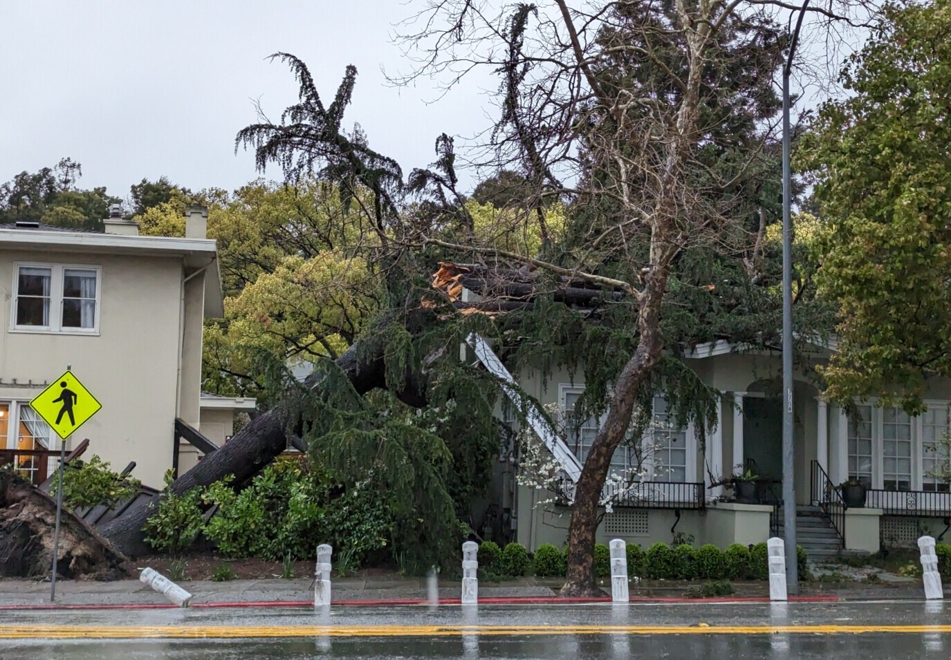
AS NORTHERN CALIFORNIA’S rainy season quickly approaches, meteorologists are anticipating “extreme” weather events to hit the state for the rest of 2025 .
“Expect extremes, so dry periods interrupted by large and long-lasting atmospheric river conditions,” said state climatologist Michael Anderson during a virtual discussion Tuesday hosted by the state’s Department of Water Resources. DWR monitors the state’s water supply and oversees the construction and maintenance of dams.
Anderson and other weather forecasters predict these conditions because of a “La Niña” pattern that is expected to peak in the remaining few months of the calendar year, according to the Climate Prediction Center.
“We do have a La Niña brewing in the eastern tropical Pacific,” Anderson said. “There are cooler than average waters along the equator, hinting at our impending La Nina.”

A La Niña weather pattern typically manifests with drier than average conditions in Southern California, and cooler and wetter than normal conditions in the northern part of the state, according to the National Weather Service.
Once 2026 rolls around, La Niña conditions are expected to weaken. In the Bay Area, precipitation is predicted to be below average from January to March, according to the NOAA’s Climate Prediction Center.
However, there is still uncertainty as to the level of precipitation because ocean temperature changes can dictate the strength of storms.
“La Niña events have historically resulted in more dry than wet years, but research also suggests that even as the climate grows hotter and drier overall, the precipitation that California does receive will arrive in stronger storms,” according to a statement from DWR.
Preparations for ‘water year’
With the potential for extremes between stormy and dry periods, meteorologists are also warning for risks of flooding.
“As we start the water year, we also start flood season,” said Laura Hollender, DWR deputy director of flood management and dam safety. “We always have to be prepared for anything.”
The new “water year” begins at the start of October and lasts 12 months.

DWR is planning ahead for flooding by holding flood response trainings for different emergency agencies, deploying nearly 200 “flood fight” containers that include millions of sandbags, and investing millions of dollars to repair levees.
Flood Preparedness Week is from Oct. 18-25 and focuses on education to help raise awareness on planning ahead for floods and staying safe during them.
“Listen to your local weather forecast,” Hollender said. “Listen to your local emergency responders when we get into flood season and potential flood risks.”
The post La Niña expected to bring ‘extreme’ weather patterns statewide, head climatologist says appeared first on Local News Matters.
